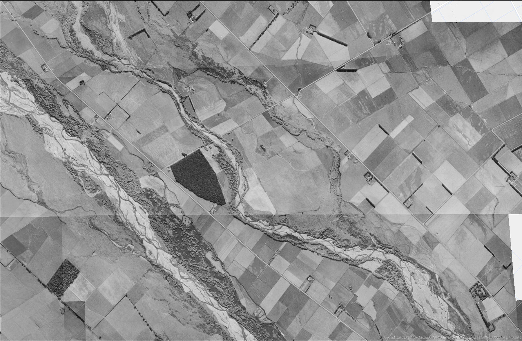
Ashburton Hakatere north and south river branches.
The 1960s B&W image from Canterbury Maps Historical Aerial Imagery shows the extent of the braidplain where river channels historically flowed during high water events.
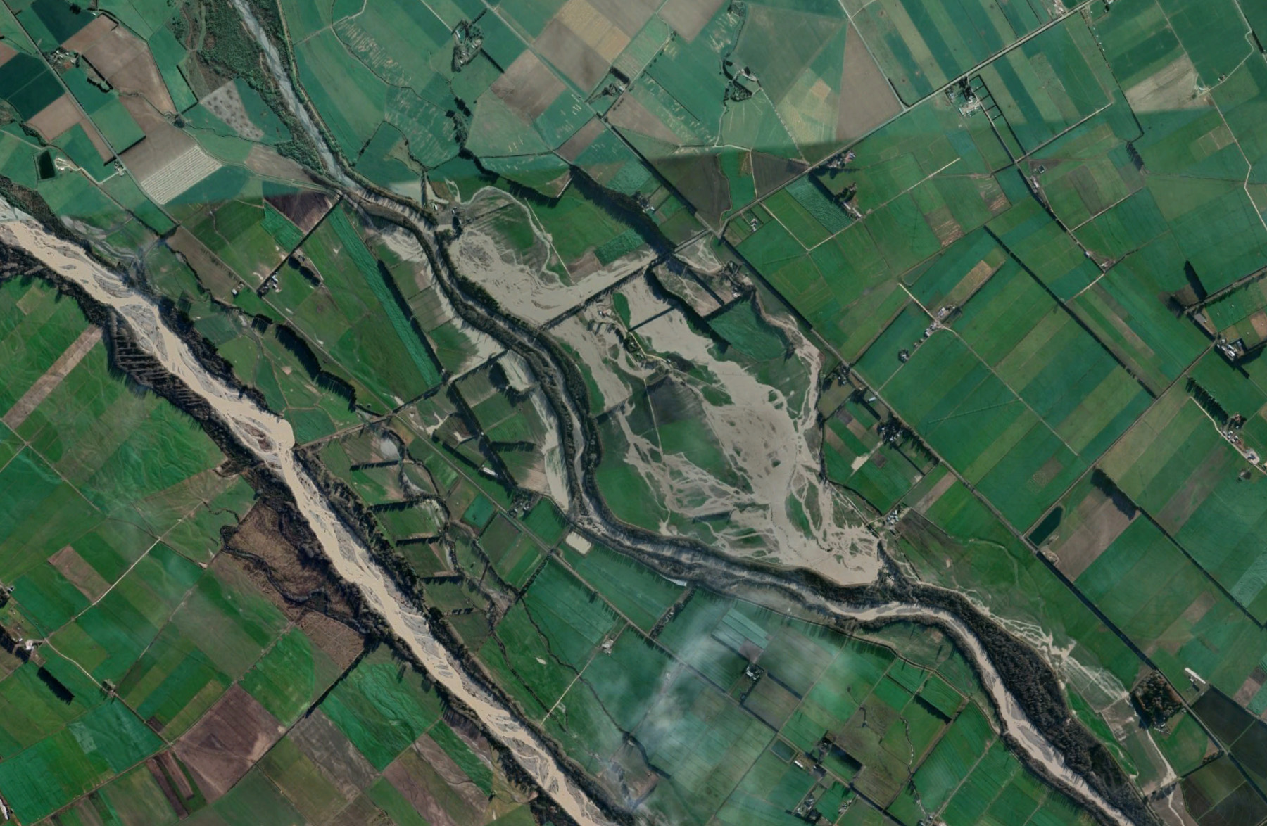
The colour image (click the B&W image if the colour one doesn’t appear as an overlay) from Google Earth dated 01 June 2021, shows where the north branch utilized some of its previous channels. Scroll down to see a side-by-side comparison.
Image contains data sourced from the CanterburyMaps and partners licensed for reuse under CC BY 4.0(link is external)